Drone / UAS Remote Sensing
Intro deck — what RS is, UAV vs. UAS, sensor payloads, processing pipeline.
Introduction to Remote Sensing — title
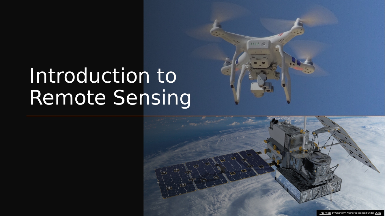
Deck scope. Introduction to Remote Sensing through the lens of drones (UAS). Quick tour: what RS is, what a UAS is (distinct from a UAV), sensor types commonly flown, and the processing pipeline.
UAS — the difference between UAV and UAS
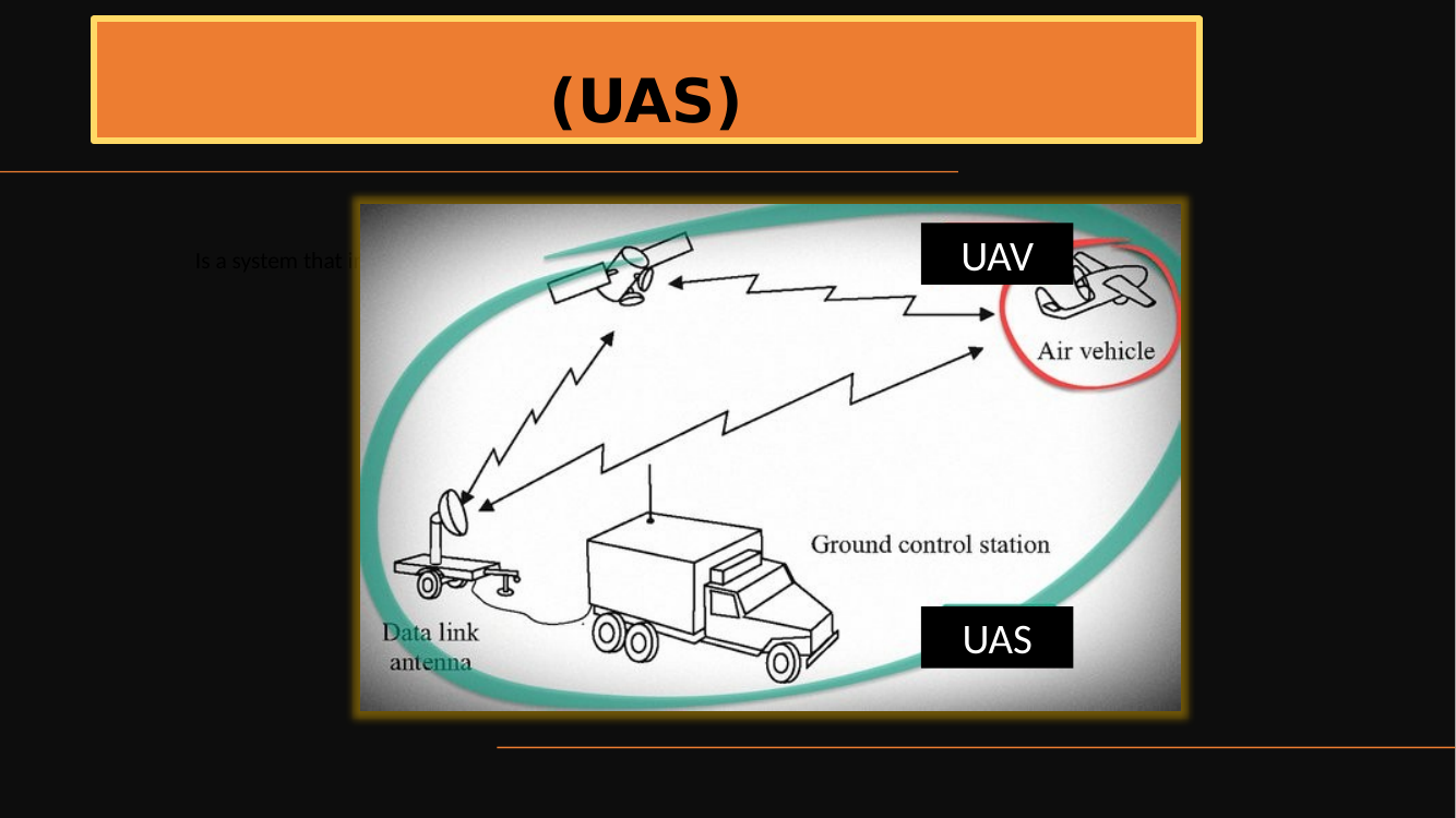
UAV vs. UAS — know the difference.
- UAV (Unmanned Aerial Vehicle) — the aircraft itself. The quadcopter or fixed-wing platform.
- UAS (Unmanned Aircraft System) — the whole system: aircraft + remote control station + wireless data link + any ancillary ground equipment.
- Part 107 and FAA regulations talk in terms of systems, not just vehicles.
UAS components — UAV, GPS, Data Link, Antenna
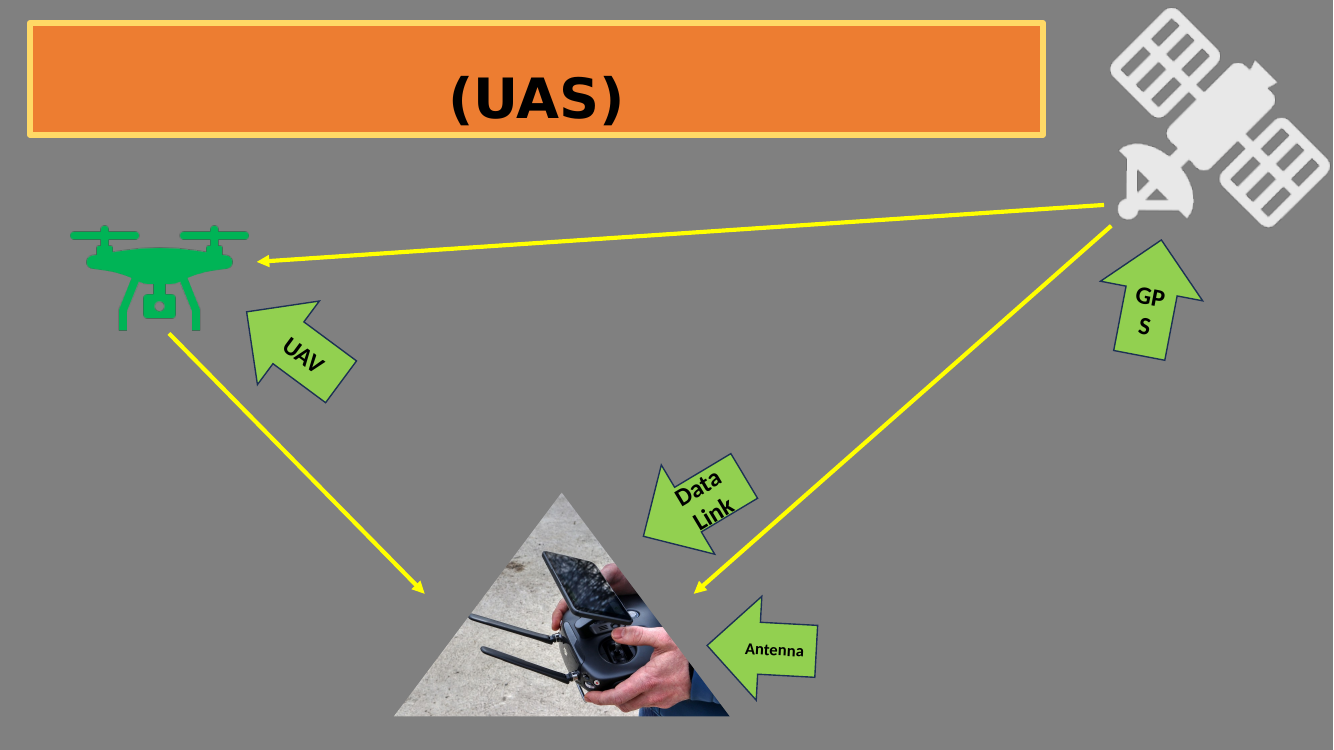
UAS components — the four labeled on the diagram.
- UAV — the aircraft.
- GPS — onboard positioning so the UAV knows where it is.
- Data Link — wireless two-way channel between aircraft and ground control (carries commands up and telemetry/imagery down).
- Antenna — the ground-station side of the data link.
The remote pilot in command (RPIC) sits at the ground station; together with the UAV and the link, these four elements are the minimum UAS.
Sensor types overview (visual)
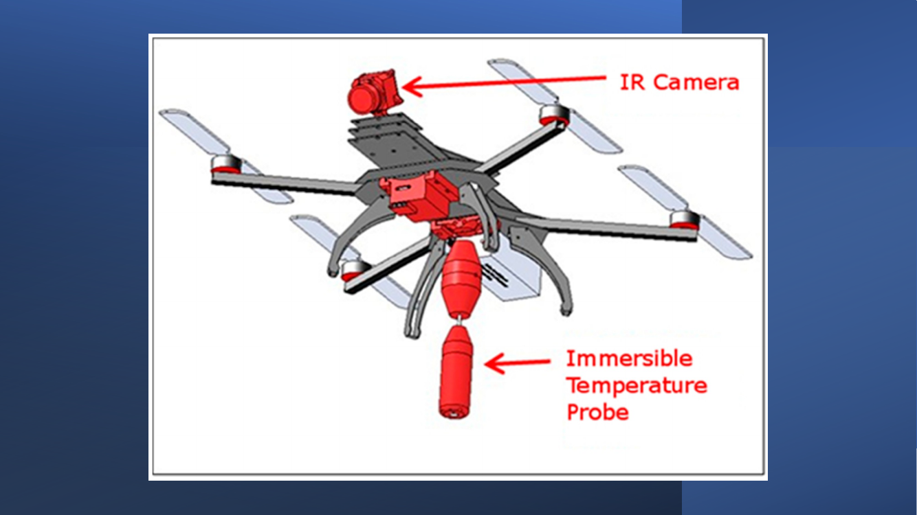
Visual slide — no extracted text. Likely a lineup of UAV sensor-mount photos (LiDAR, thermal, multispectral, RGB) introducing the next three slides.
- If you need specifics, see slides 7–9 for the actual sensor types called out.
LiDAR + thermal camera payload
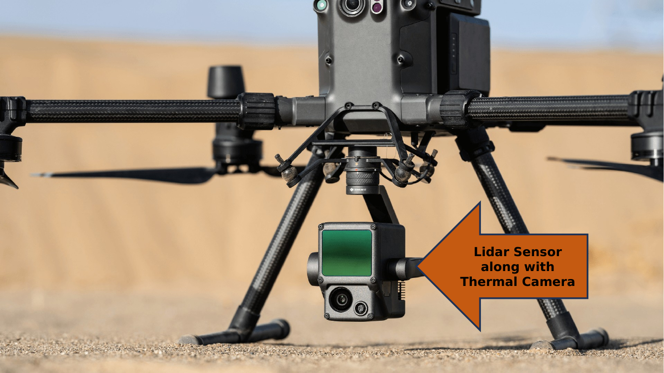
LiDAR + thermal payload.
- LiDAR (Light Detection and Ranging) — active sensor that fires laser pulses and measures return time → millions of 3-D points per second → dense point clouds and DEMs.
- Thermal camera — long-wave IR (8–14 µm) detects emitted heat. Day or night; sees through smoke.
- Combined mission use: structural inspection, search and rescue, forestry canopy mapping, electrical-substation inspection.
Multispectral + RGB camera payload
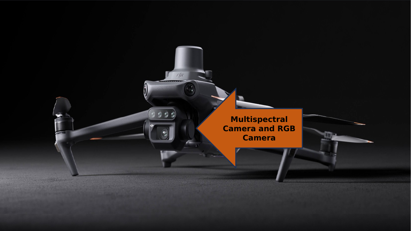
Multispectral + RGB payload.
- Multispectral camera — typically 5 bands (Blue, Green, Red, Red Edge, NIR) for vegetation indices like NDVI, NDRE, and crop-health analytics. Example: MicaSense RedEdge-P, DJI Phantom 4 Multispectral.
- RGB camera — standard visible-light imagery for visual inspection and orthomosaic creation.
- Combined use: precision agriculture, forestry, environmental monitoring.
RGB camera — baseline payload
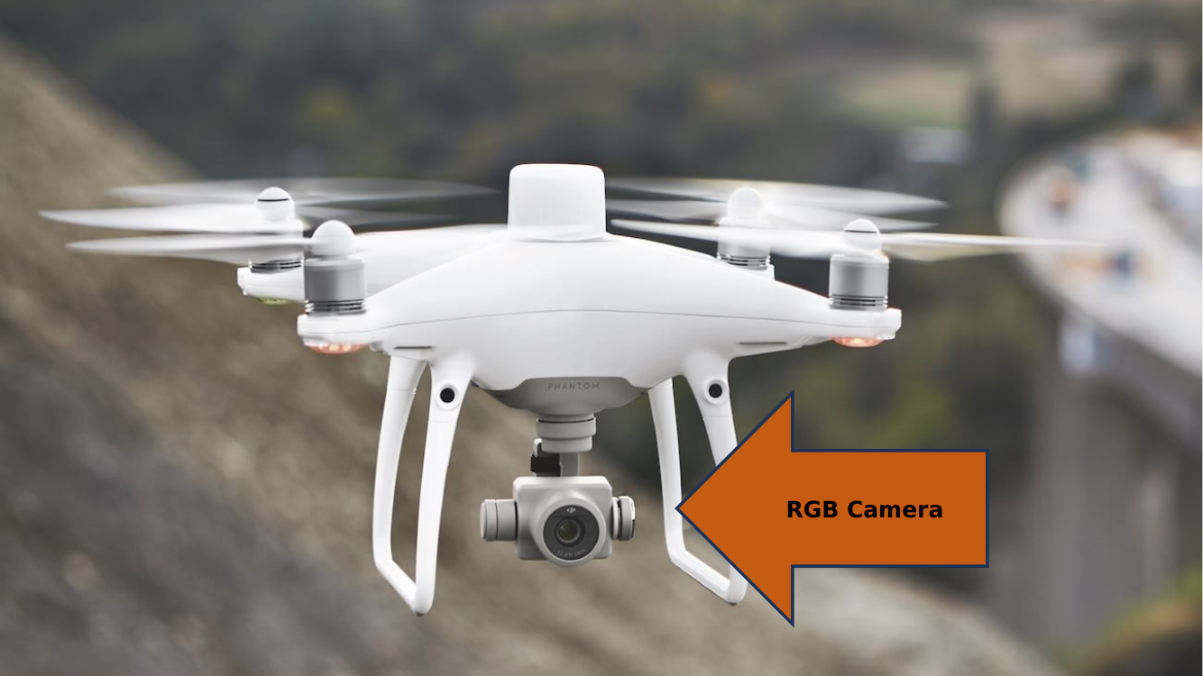
RGB camera — the baseline payload.
- Three broad bands (Red, Green, Blue) → natural-color photographs.
- Used for orthomosaic generation, visual inspection, progress photos on construction sites, and public-facing deliverables.
- Cheap, ubiquitous, huge market — this is what’s on every consumer drone.
Deck: Introduction to Remote Sensing_Drone.pptx — 10 slides.
Download original
·
Edit our reproduction