IKONOS Sensor — Student Presentation
Focused 9-slide deep-dive: launch, orbit, bands, product levels, WGS 84, applications.
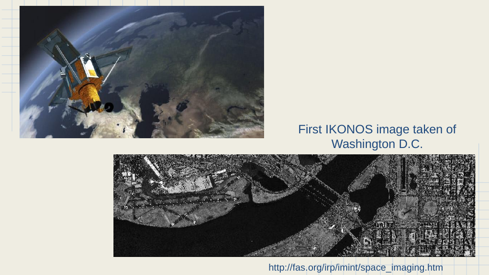
First IKONOS image — Washington, D.C.
In-image text (for later study-guide use)
Left: artist rendering of the IKONOS spacecraft over Earth. Right: the first IKONOS image taken of Washington D.C. — a sub-meter panchromatic view of the Mall and the Potomac. Source: fas.org.
Likely answer
edit
The first IKONOS image — Washington D.C.
- Captured shortly after launch in late 1999.
- Demonstrated the sub-meter capability that had been restricted to defense imagery until then — a turning point for civilian Earth observation.
- Source: fas.org (Federation of American Scientists archive).
Data and products
- Imagery provided in six levels: Geo, Standard Ortho, Reference, Pro, Precision, PrecisionPlus.
- Commercial data purchased by square kilometer — you only pay for the exact AOI, not a fixed scene.
In-image text (for later study-guide use)
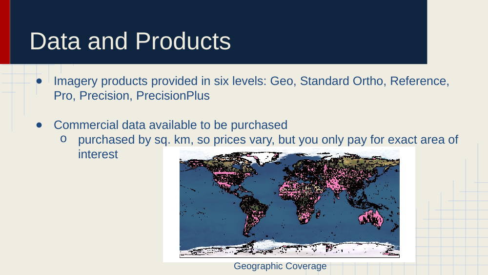
World map labeled Geographic Coverage with pink shading over land masses — indicates IKONOS imagery was collectable globally (on demand, not continuously archived).
Likely answer
edit
IKONOS data products — six levels of correction.
| Level | What’s corrected |
|---|---|
| Geo | Basic geolocation using sensor ephemeris |
| Standard Ortho | Orthorectified using a coarse DEM |
| Reference | Tighter orthorectification, GCPs |
| Pro | Professional-grade orthorectification |
| Precision | High-accuracy GCPs + detailed DEM |
| PrecisionPlus | Highest accuracy product in the catalog |
- Pricing model: purchased by square kilometer — you pay only for the exact area of interest, not for a fixed scene footprint.
- Imagery coverage was global but tasked on-demand (not a continuous archive like Landsat).
Deck: IKONOS_Sensor.pptx — 9 slides.
Download original
·
Edit our reproduction